
Overview
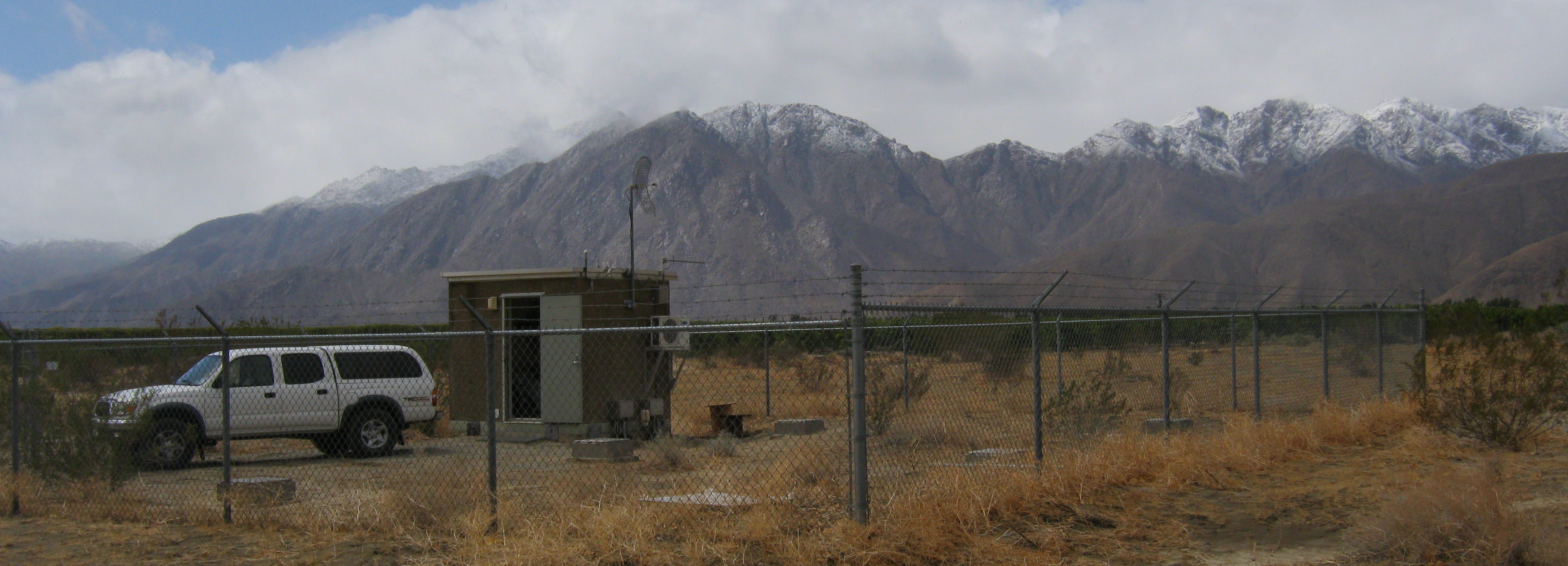
In 1993, Kajima Engineering and Construction Corp. and Agbabian Associates established the Borrego Valley Downhole Array (BVDA) near Borrego Springs, in Southern California. The BVDA site consists of borehole and surface instruments that extend east-west 3000m across the Borrego Valley and a remote rock site at the western edge of the valley that includes surface and borehole sensors. The site was installed to provide information about wave propagation across the alluvial basin generated by the Coyote Creek and Clark Faults.
Geological/Geotechnical Information
At the main station the sediment-granite interface is at 230 m, and at the remote rock site sediments are underlain by slightly more competent rock at 50m.
In addition to the seismic instrumentation, the BVDA main station has extensive site characterization data available, including geophysical logging, soil sampling, SPT tests, and dynamic laboratory testing. The rest of the valley has been investigated in detail by Martin, 1999, to provide structure for 3D simulation, Olsen et al., 2000 shows a 2D cross section of the valley with station locations, the variability in depth to basement, and water table depth shown. Geophysical measurements including gravity and magnetic surveys, and seismic refraction profiles across the valley floor are part of the investment that has previously been made in the detailed characterization of this test site.
The remote rock station has its own site response. Amplitudes are equal to or larger than those at the surface of the soil sites, suggesting that the rock outcrop has amplified motion. S-wave velocities remain between 400-600 m/s to a depth of 25 m where slightly more competent rock is encountered. Below the min station shear wave velocity gently increases from about 300 m/s at the surface to 750 m/s at 230m - the granite interface - where it jumps to 2500 m/s.
The water table is at approximately 92 m; BVDA is representative of a dry site in NEHRP site class C.
In addition to the seismic instrumentation, the BVDA main station has extensive site characterization data available, including geophysical logging, soil sampling, SPT tests, and dynamic laboratory testing. The rest of the valley has been investigated in detail by Martin, 1999, to provide structure for 3D simulation, Olsen et al., 2000 shows a 2D cross section of the valley with station locations, the variability in depth to basement, and water table depth shown. Geophysical measurements including gravity and magnetic surveys, and seismic refraction profiles across the valley floor are part of the investment that has previously been made in the detailed characterization of this test site.
Velocity Logs (XLS):
Images


